
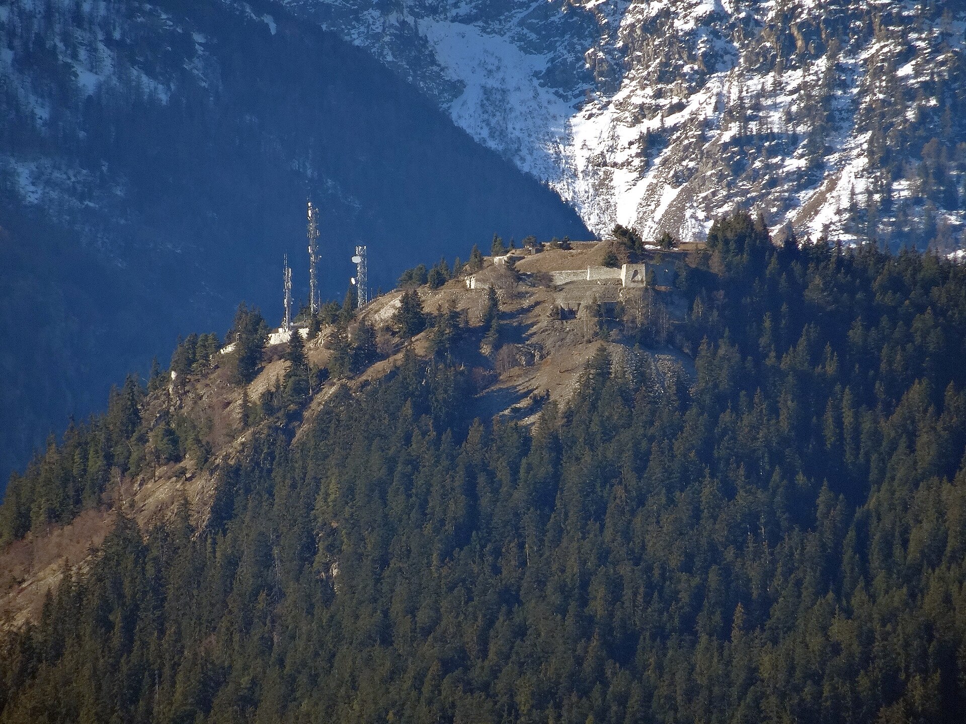
Saint-André Savoie
Fort du Sapey
The Fort du Sapey, later renamed the Ouvrage du Sapey, is an Alpine fortification located on the boundary between the communes of Saint-André and Modane, in the Savoie department.
- Époque
- XXᵉ siècle (1931)
En un regard
Le château en bref
The Fort du Sapey, later renamed the Ouvrage du Sapey, is an Alpine fortification located on the boundary between the communes of Saint-André and Modane, in the Savoie department. It was built just below the summit of the Sapey (which is occupied by the Redoute du Sapey, at 1,755 metres above sea level), at 1,740 metres, overlooking the Fort du Replaton and the Maurienne valley and controlling the exit of the Fréjus tunnel, the Mont Cenis pass and the Arc valley. The summit was fortified in several stages: first in 1885–1891, with the construction of a Séré de Rivières fort, which was then modernised in 1913–1916 (construction of the battery under concrete and rock), and again in the 1930s, in the form of an artillery work as part of the Maginot Line.
- Époque de construction
- XXᵉ siècle (1931)
- Localisation
- Saint-André, SAVOIE
Informations pratiques
Préparer sa visite
Nous n’avons pas encore d’information vérifiée sur l’ouverture au public. Renseignez-vous auprès du site officiel ou de la mairie avant de vous déplacer.
Vous l’avez visité ?
Partagez vos photos
Après relecture, votre photo illustrera cette fiche, créditée à votre nom. Haute définition bienvenue, jusqu’à 40 Mo.
Propriétaires et gestionnaires
Vous gérez Fort du Sapey ?
Horaires, tarifs et réservation manquent encore sur cette fiche. Transmettez-les et mettez le château en avant auprès des visiteurs qui préparent leur venue.
Nearby
Découvrir les alentours
Other castles in the same region
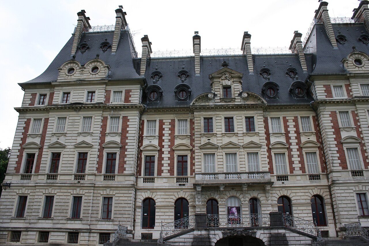 La Motte-Servolex · à 76 km Château ReinachXVIIIe-XIXe siècles
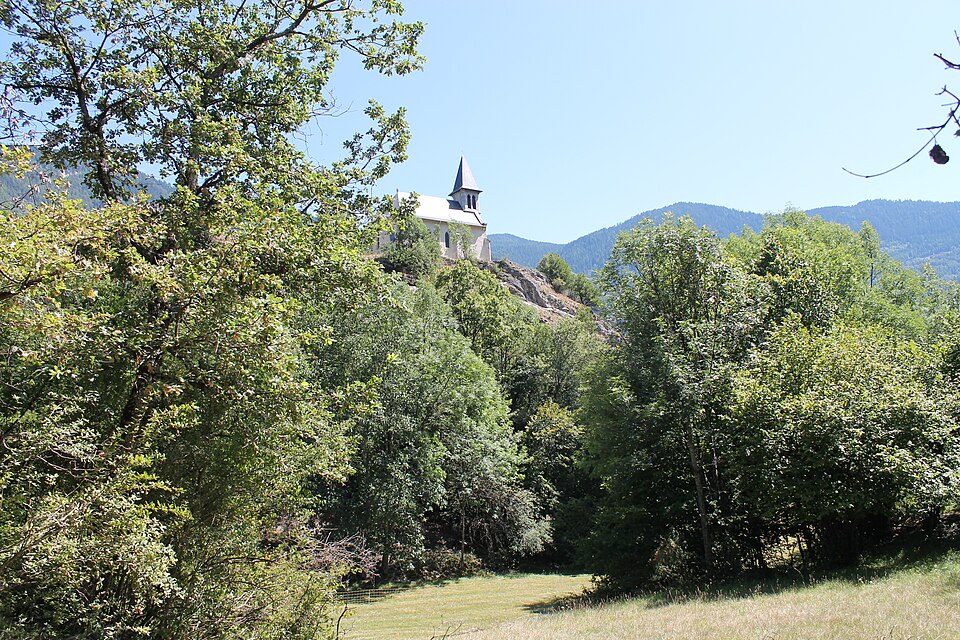 Saint-Marcel · à 35 km Château Saint-JacquesVᵉ siècle (500)
- Aiguebelette-le-Lac · à 75 km Château d'Aiguebelette-le-LacXIVᵉ siècle (1301)
Patrimoine à proximité
- Monument historiqueMaison dite de l'Evêque, située à La Paraz Saint-André · 4.2 km
- Monument historiqueChâteau Saint-André · 170 km
- Monument historiqueChâteau de Montus Saint-André · 360 km