Schauenburg, Stetten am kalten Markt

Stetten am kalten Markt arrondissement de Sigmaringen Allemagne

Schauenburg

The Schauenburg, also called Schauenberg, is a former medieval fortress in the upper Danube valley.

Époque
XIIIe siècle
Préparer la visite

En un regard

Le château en bref

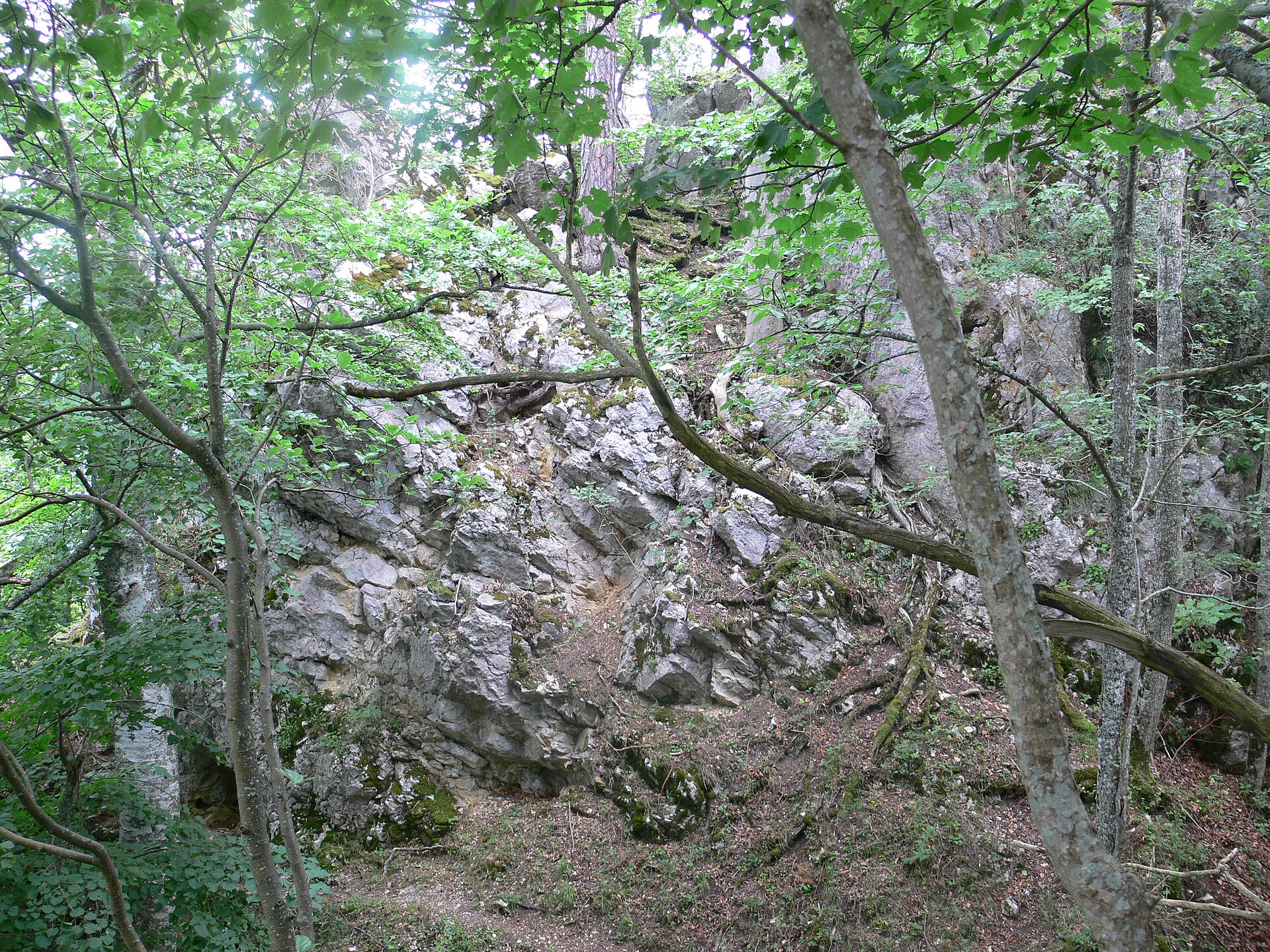
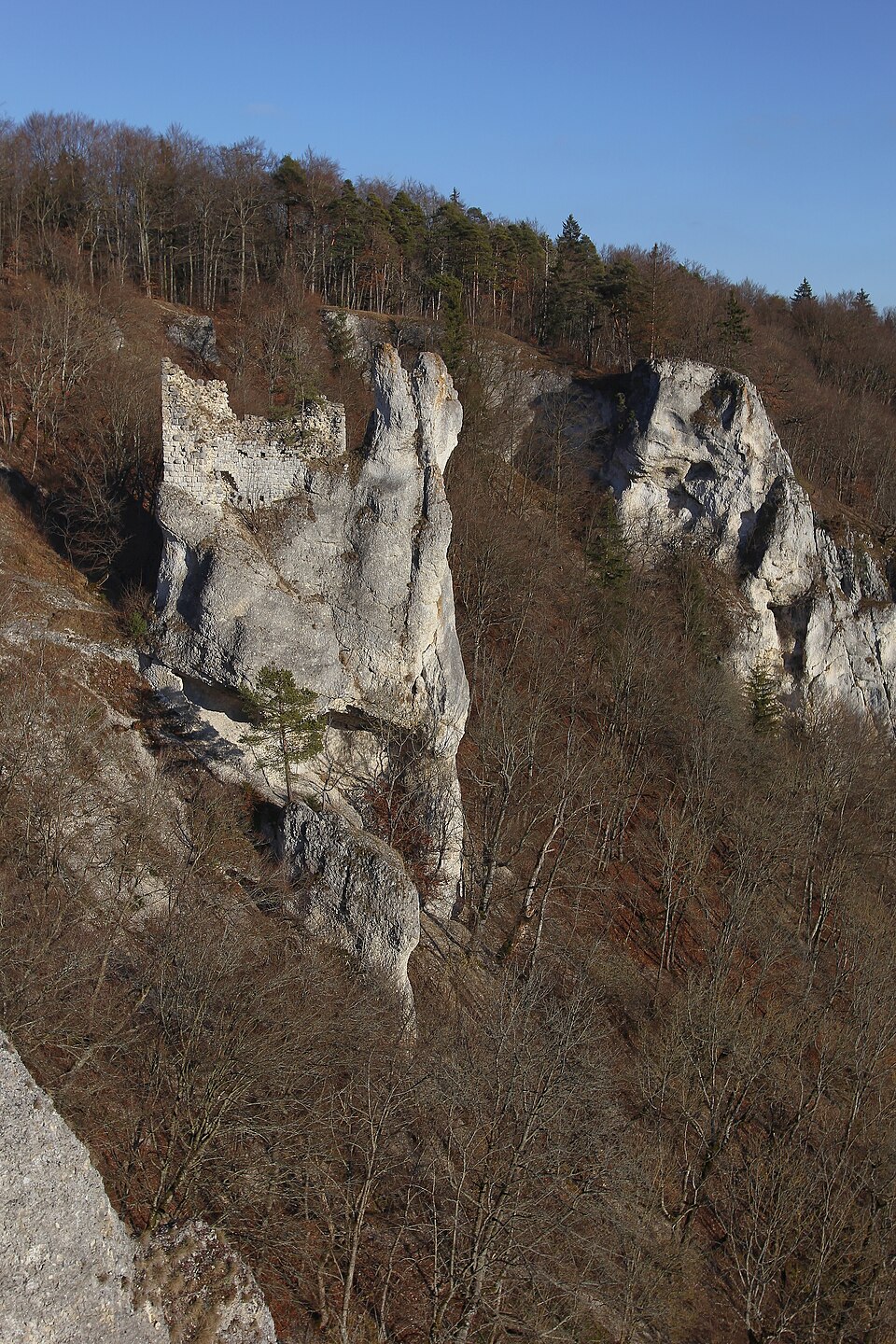
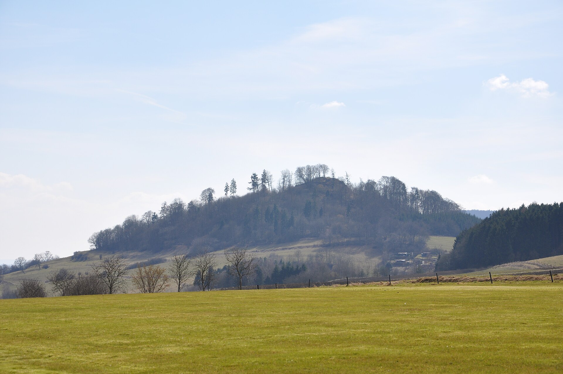
The Schauenburg, also called Schauenberg, is a former medieval fortress in the upper Danube valley. It stands on the Schaufelsen, a limestone spur on the valley rim at around 722 metres above sea level, some three kilometres south of Stetten am kalten Markt in the Sigmaringen district. Its name, derived from old terms for a lookout post, suits this natural viewpoint, which overlooks the river's meander from a sheer drop of about 120 metres. This hilltop castle was built in the 13th century by knights who took their name from it, possibly ministerials of the Counts of Hohenberg. Destroyed in the 15th century by the Counts of Sigmaringen, the fortress is described at the end of the same century as a mere ‘Burgstall’. Only low sections of wall remain, along with a remnant of a building in rough small masonry and two short stretches of ditch that delimit the main courtyard. The site is one of the many lost castles of the Danube cliffs between Beuron and Sigmaringen, within the Upper Danube Nature Park; visitors pass through mainly while hiking to the Schaufelsen viewpoint, one of the most spectacular vantage points in the valley.

Époque de construction
XIIIe siècle
Localisation
Stetten am kalten Markt, arrondissement de Sigmaringen

Récit

Une histoire à travers les siècles

Photo : Baummapper

Le récit

L’histoire de Schauenburg

Le château fut probablement fondé au XIIIe siècle par les seigneurs de Schauenburg ; un Gotwinus de Schowenberc est attesté en 1270. En 1430, les comtes de Sigmaringen détruisirent la forteresse, qui ne fut pas relevée. En 1497, les sources la décrivent comme le « Schowenberg Burgstall », alors propriété des seigneurs de Hausen, maîtres du château voisin de Hausen im Tal.

L’architecture

Ce qu’il faut observer

Château de sommet sur un éperon tombant à pic d'environ 120 mètres vers l'ouest. Le noyau castral, d'environ 22 × 28 mètres, est délimité au nord et au sud par deux courts tronçons de fossés. Subsistent de faibles restes de murs au nord-ouest et, au sud-est, les vestiges d'un bâtiment en petit appareil grossièrement équarri.

Chronologie

Les étapes de construction

Les campagnes documentées qui ont façonné le monument, période par période.

Moyen Âge

  1. XIIIe siècle

    Construction

    Fondation probable par les chevaliers de Schauenburg (mention en 1270).

  2. 1430

    Évolution

    Destruction par les comtes de Sigmaringen.

Informations pratiques

Préparer sa visite

Conditions de visite non renseignées

Nous n’avons pas encore d’information vérifiée sur l’ouverture au public. Renseignez-vous auprès du site officiel ou de la mairie avant de vous déplacer.

Vous l’avez visité ?

Partagez vos photos

Après relecture, votre photo illustrera cette fiche, créditée à votre nom. Haute définition bienvenue, jusqu’à 40 Mo.

Propriétaires et gestionnaires

Vous gérez Schauenburg ?

Horaires, tarifs et réservation manquent encore sur cette fiche. Transmettez-les et mettez le château en avant auprès des visiteurs qui préparent leur venue.