

Horaires
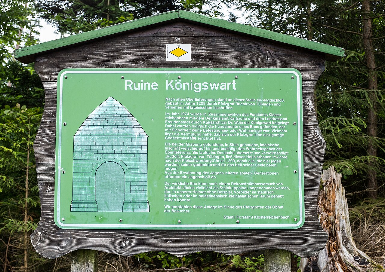
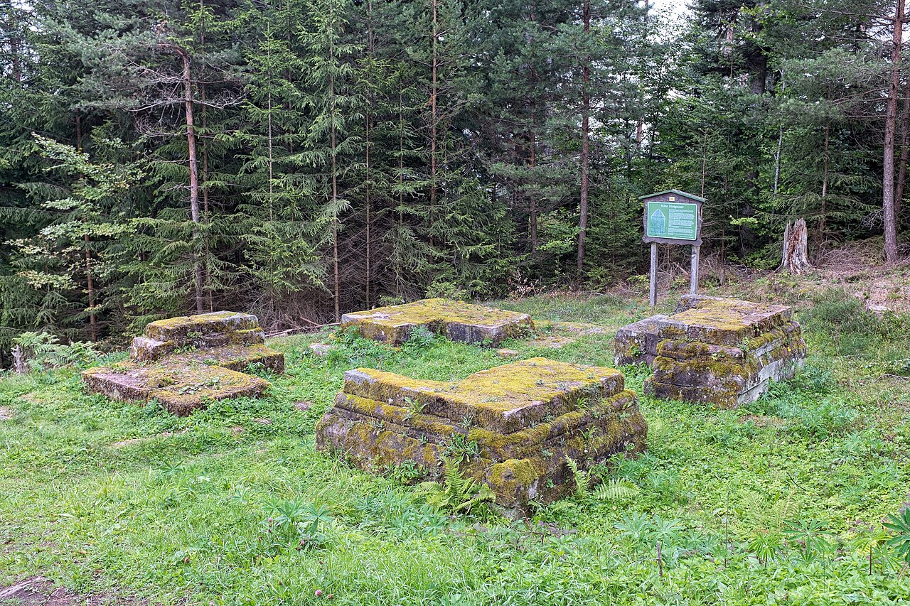
Vestiges de fondations en libre accès en forêt, avec un panneau d'information ; près de la L350 entre Schönegründ et Besenfeld, sur le sentier Mittelweg du Schwarzwaldverein.
Architecture, patrimoine et histoire · Landkreis Freudenstadt
Perched at about 785 metres above the hamlet of Schönegründ, within the municipality of Baiersbronn, the Königswart ruin overlooks the Murg valley in the northern Black Forest. The site was rediscovered during roadworks on the route linking Schönegründ to Besenfeld and then excavated in 1974. A Latin inscription uncovered on that occasion states that Count Palatine Rudolf of Tübingen had the building erected in 1209 so that those who hunted here would remember him and pray for his soul. More than a simple hunting lodge, it may have been a memorial monument, set on the boundary of the lands of Reichenbach Abbey. Below the ruin lay the silver and copper mines of the Grube Königswart, recorded as early as 1488. The masonry was largely dismantled between 1828 and 1830; only the foundations survive, freely accessible and explained by an information board, on a popular hiking route.
Toutes les informations pour organiser votre venue au Ruine Königswart.
Vestiges de fondations en libre accès en forêt, avec un panneau d'information ; près de la L350 entre Schönegründ et Besenfeld, sur le sentier Mittelweg du Schwarzwaldverein.
Ouvert au public
Inscription latine de 1209 attribuant la construction au comte palatin Rodolphe de Tübingen
Probable monument mémoriel plutôt que simple pavillon de chasse
Au-dessus des anciennes mines d'argent et de cuivre de la Grube Königswart (attestées en 1488)
1209 : construction par le comte palatin Rodolphe de Tübingen, selon une inscription latine. 1488 : première mention écrite de la mine voisine (Grube Königswart, argent et cuivre). 1828-1830 : les vestiges sont en grande partie démontés, à l'exception des pierres d'angle des fondations. Le site est redécouvert lors de travaux sur la L350, puis dégagé en 1974 par le Forstamt Klosterreichenbach, le Denkmalamt Karlsruhe et le Landratsamt Freudenstadt.
Château de hauteur à 785 m d'altitude dont il ne reste que des fondations et les pierres d'angle. Une inscription latine y a été retrouvée. Sa fonction exacte reste incertaine : le bâtiment est interprété comme mémorial (memoria) ou poste de surveillance en limite de territoire.
Ruine archéologique en forêt, ouverte aux randonneurs ; ni exploitant ni usage événementiel documentés.
Les principales campagnes documentées qui ont façonné le monument au fil des siècles.
