En un regard
Le château en bref
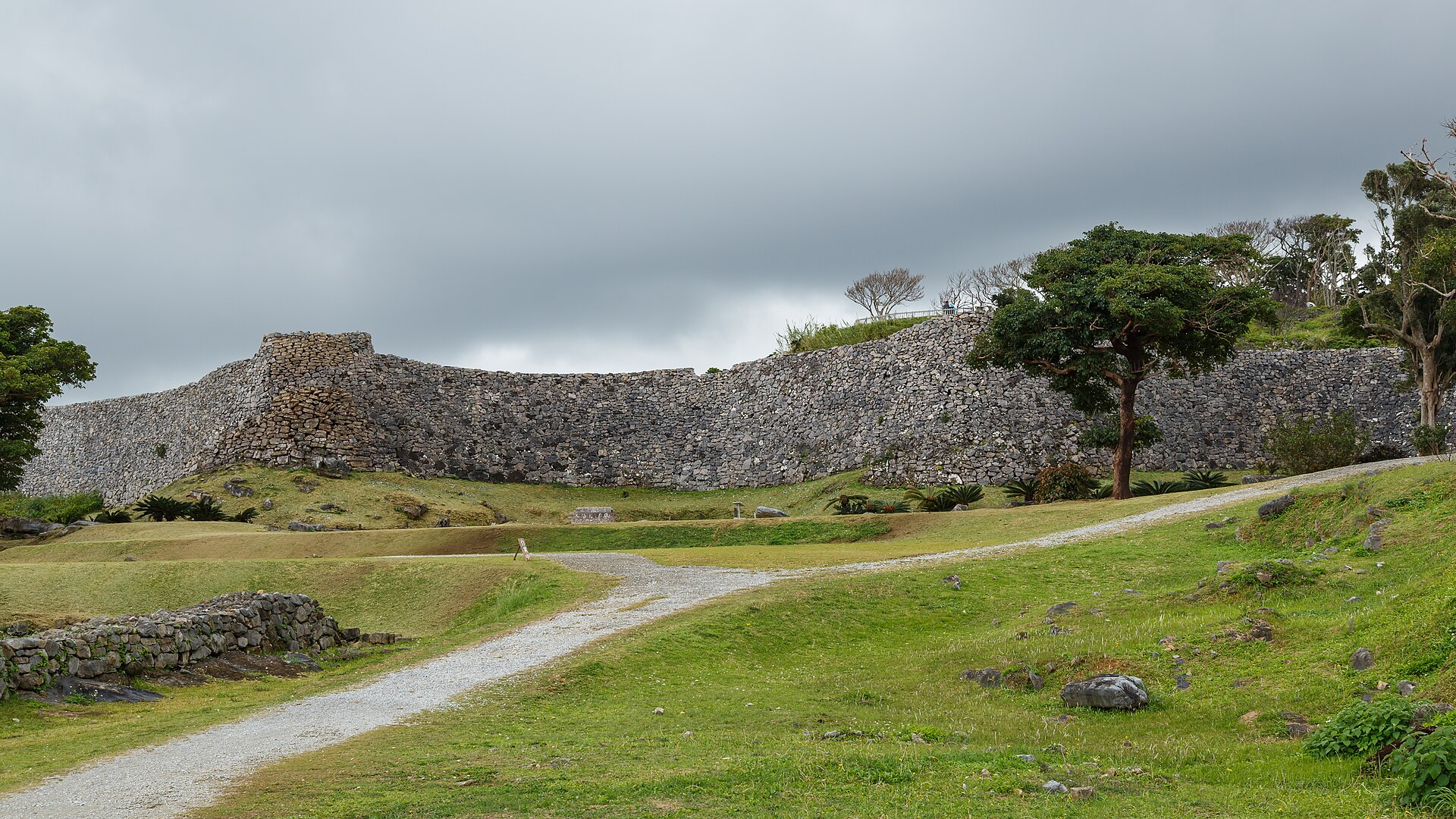
Nakijin was built on an isolated hill on the Motobu Peninsula, about 1.5 kilometres from the northern shore of Okinawa, on high ground of around 100 metres defended by a river, cliffs and a deep valley. It is among the largest gusuku in the archipelago, covering about 3.8 hectares according to the national record, with more than 1,500 metres of walls. These walls, of hard limestone blocks, trace long screen-like curves that follow the terrain; they rise 6 to 10 metres and reach a thickness of 3 metres at the top. Several enclosures rise in tiers to the upper precinct: six according to ICOMOS, seven according to a specialist guide. At the summit stood a large hall and a shrine, along with a stele of 1749 recounting the stronghold's history. Residence of the kings of Hokuzan, or Sanhoku, during the Three Kingdoms period, the castle prospered through intensive trade: excavations from 1980 to 2008 yielded abundant ceramics from China and Southeast Asia. Haniji, Min and Han'anchi appear in 14th-century Chinese sources as kings of Sanhoku. The castle fell to Sho Hashi in 1416, a year given as 1422 by another tradition; it then became the seat of a royal governor and is said to have been burned during the Satsuma invasion of 1609. The last governor withdrew in 1665 and the place became a site of worship, still visible in its Soitsugi-no-utaki shrine. The present Heiromon gate is a 1962 reconstruction, a useful marker for distinguishing ancient remains from modern additions.
- Époque de construction
- fin du XIIIe – début du XVe siècle
- Localisation
- Nakijin, Préfecture d'Okinawa
- Protection
- Site historique national (国指定史跡), « Nakijin-jō ato tsuketari Shiina-jō ato » (1972)
- Accès au public
- Ouvert au public
- État
- En ruine
- Usage actuel
- site patrimonial, lieu de culte