Château ancestral de la dynastie des Staufen
Hohenstaufen Castle ruins (Burgruine Hohenstaufen)
Architecture, patrimoine et histoire · Landkreis Göppingen
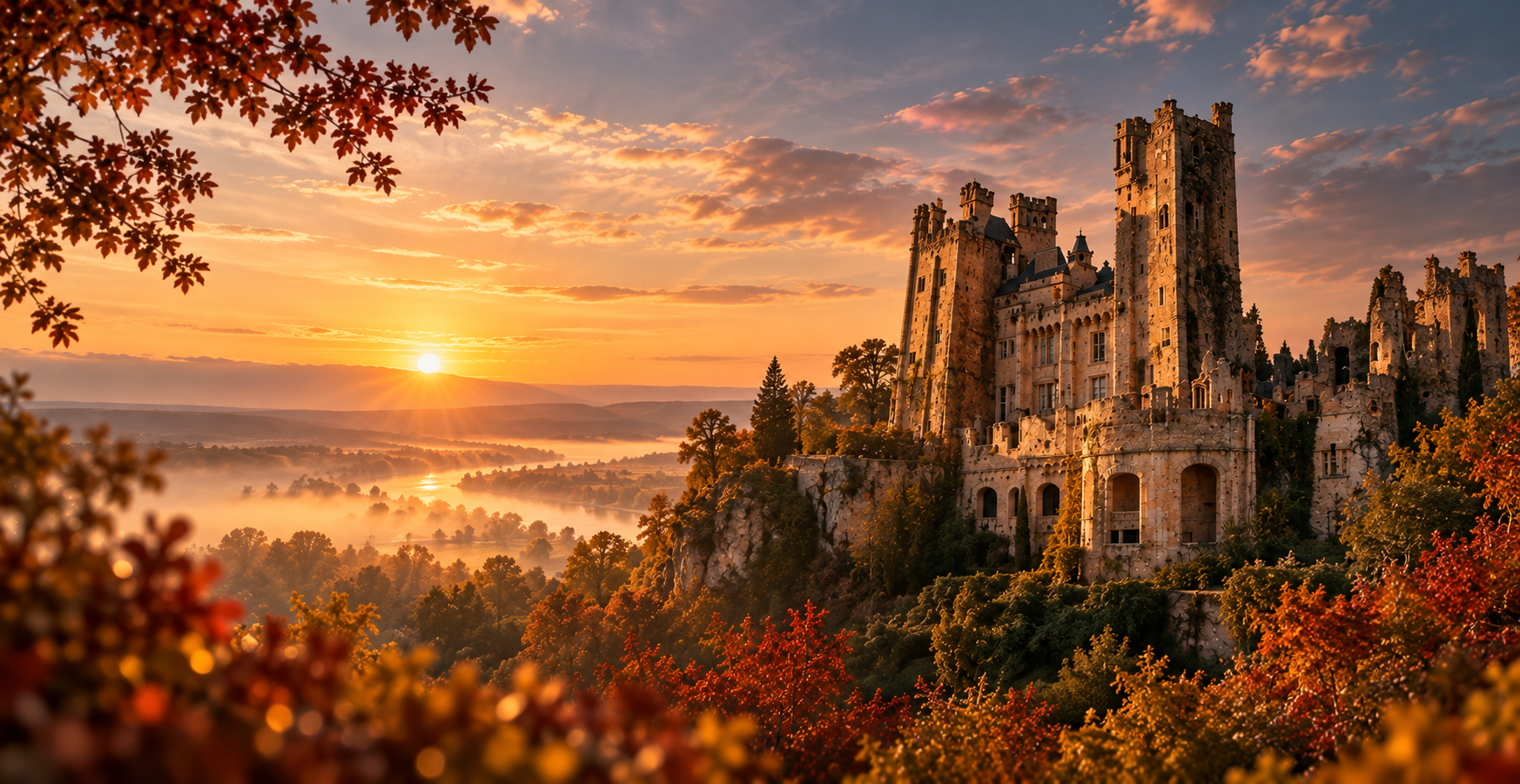
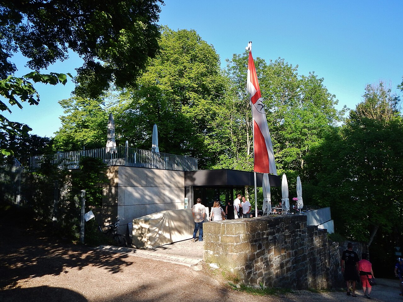
On the conical summit of the Hohenstaufen, 684 metres above sea level and above the district of Göppingen of the same name, stood the ancestral castle of the Staufer (Hohenstaufen) dynasty. The summit was already inhabited in the Bronze Age. Around 1070 Frederick I of Swabia turned a simpler fortification into a castle, a family allodial holding that predated his ducal title of 1079. Frederick Barbarossa is recorded here in 1181, and Queen Irene, widow of Philip of Swabia, died here in 1208. Having become an imperial castle after the fall of the Staufer, besieged in the 14th century and passed to Württemberg, it was taken, plundered and set on fire by the rebellious peasants at the end of April 1525, then used as a quarry for Göppingen Castle from 1555 onwards. All that remains are the foundations of an elongated oval plan, divided into a main castle and an outer bailey, with a keep about ten metres square and rusticated (bossed) stones, consolidated up to 2010. The site, on the Staufer Road, offers a memorial stele and a wide panorama; a documentation room on the history of the Staufer is located at the foot of the mountain.
⌖
Göppingen (Hohenstaufen)Landkreis Göppingen
♜
Chronologie documentéePériode de construction
Pourquoi visiter Hohenstaufen Castle ruins (Burgruine Hohenstaufen) ?
Présence de Frédéric Barberousse attestée en 1181
Détruit pendant la guerre des Paysans en 1525
L’histoire de Hohenstaufen Castle ruins (Burgruine Hohenstaufen)
Bâti vers 1070 par Frédéric Ier de Souabe, le château fut le berceau des Staufen jusqu'au milieu du XIIIe siècle. Château d'Empire en 1268, il passe aux comtes de Wurtemberg en 1372. Incendié pendant la guerre des Paysans en 1525, il sert de carrière dès 1555 ; sa dernière tour est abattue en 1705.
Figures historiques Frédéric Ier de Souabefondateur, duc de Souabevers 1070
 Frédéric Barberousseempereur, séjour attesté1181
 Irène Ange (Irène de Souabe)reine, veuve de Philippe de Souabe, morte au château1208
 Henri le Superbeduc de Bavière, assiégeant1132-1134
 Rodolphe de Habsbourgroi, fait du château une Reichsburg1268
 Charles IVempereur, assiégeant1360
 Christophe de Wurtembergduc, utilise la ruine comme carrière1555
Personnalités liées à Hohenstaufen Castle ruins (Burgruine Hohenstaufen)
Découvrez les femmes et les hommes documentés dans l’histoire de ce château et retrouvez, pour chacun, les autres demeures auxquelles ils sont associés.
Ce qu’il faut observer
Plan ovale allongé divisé en Kernburg et Vorburg par un mur du XIIe siècle ; donjon d'environ 10 m de côté et maçonneries partiellement en pierres à bossage. Seules les fondations, dégagées et consolidées, subsistent.
Les étapes de construction
Les principales campagnes documentées qui ont façonné le monument au fil des siècles.
- Source solide1070–1079Évolution
- Datation probable1100–1200Évolution
- Source solide1525Évolution
- Source solide1555–1705Évolution
- Datation probable1967–2010Évolution
Nearby
View all castles →